
Page last updated or reviewed: Created October 19, 2007. Reviewed Feb 8, 2018
2018 update: Changes to the freeway have been minimal since these photos were taken in 2007, and these photos are still accurate depictions.

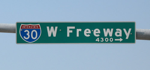
Interstate 30 in Fort Worth is the West Freeway
(Photo date: 29-April-2007)

(Photo date: 29-April-2007)

Looking east from Chapel Creek. Interstate 820 is just ahead. For photos of the interchange at 820, see the driver's views.
(Photo date: 29-April-2007)
High resolution
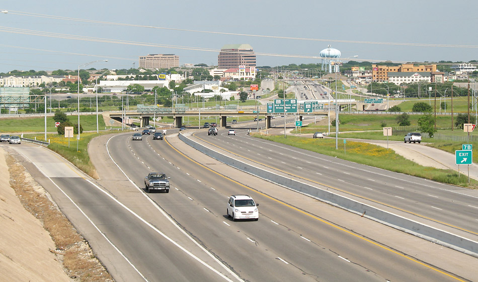
Looking east at SH 183/Alta Mere
(Photo date: 29-April-2007)

Looking east from the Ridgmar/Ridgelea overpass.
(Photo date: 29-April-2007)

High resolution
Looking east at Guilford. From this point eastward to University the freeway was widened and reconstructed in the late 1980s, with work completed in 1989 and 1990.
(Photo date: 29-April-2007)

Looking east from the Bryant/Guilford overpass.
(Photo date: 29-April-2007)

Looking east at Horne
(Photo date: 29-April-2007)
High resolution
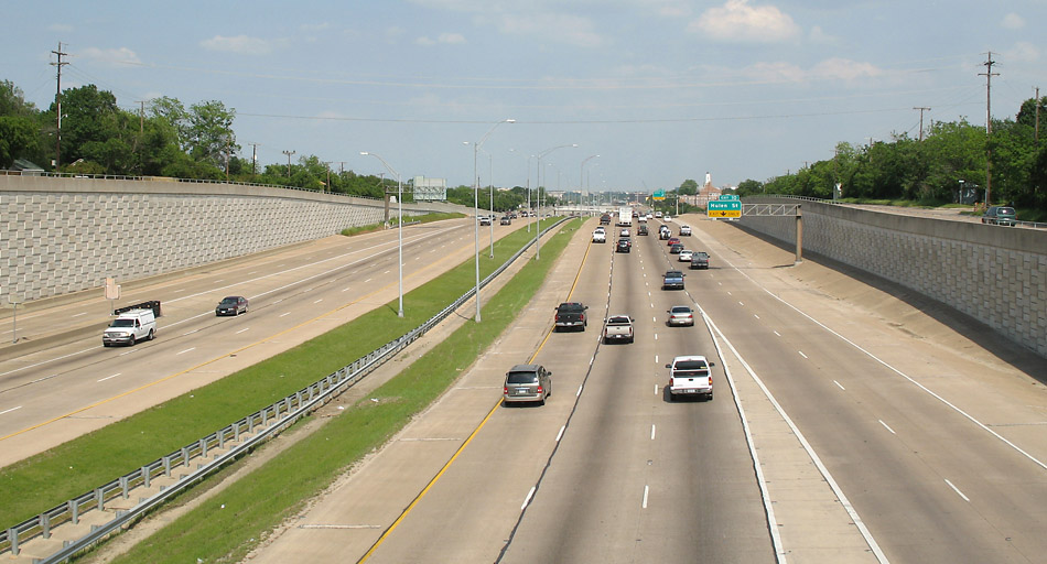
Looking east at Merrick
(Photo date: 29-April-2007)

Looking east at Ashland
(Photo date: 29-April-2007)